
HarvestMaster™ has worked closely with customers to create field data collection software that best serves their research and operation needs. Mirus™ allows researchers to collect and store data in an organized way. Mirus alone can enhance a researcher’s data-collecting experience. With plugins, your efficiency and thoroughness are taken to the next level. Because we have a wide range of customers, we didn’t want to complicate Mirus with functions that our users wouldn’t need. So, we created plugins, allowing you to create software that will meet your needs without cluttering your experience.
A CLOSER LOOK AT THE GNSS PLUGIN
HarvestMaster knows that an essential component for every researcher is knowing they have accurate data. Knowing where data is collected, is greatly enhanced by knowing the GPS location of each plot. The Mirus GNSS plugin is designed specifically to help researchers know where data is being collected and which plot the data comes from. The GNSS plugin is a foundational addition to getting the most out of Mirus. Not only does it enhance the capabilities of Mirus on its own, but it gives users the peace of mind they are getting the most accurate data possible. Being able to tie data to a GPS location helps researchers better understand and visualize their results, as well as being assured that the data came from the right plot. The GNSS plugin is smart farming technology that helps operators automate the harvesting process and reduces human errors.
Using the GNSS plugin, users can create field maps with every plot geo-referenced to a precise location. The GNSS plugin can also be used to position plots in the optimal position within a field. With field layout capabilities, all operators need is to determine the first two corners of their field and then allow Mirus to generate a field map for them. Once set up, field dimensions can easily be changed in Mirus if users find that the measurements need to be adjusted. After users have verified the size of their field, they can create their field layout with specific GPS locations for each plot by telling Mirus their plot and alley length and the number of rows and ranges. The GNSS plugin eliminates flags and measuring wheels and reduces the amount of time spent in the field positioning their plots.
Using the GNSS plugin, operators can navigate to specific plots in their fields quickly and easily. Notes taken on specific plots can be attributed to their specific location, eliminating the possibility that data was collected on the wrong plot.
NOT JUST FOR GRAINGAGE
GNSS also allows for harvesting to become a more automated process. Rather than having operators determine when to stop and start the GrainGage™, users can use GPS coordinates to trigger when the GrainGage turns on and off. This automated process can also be used with the Cone Planter and Field Applicator plugins. Additionally, the GPS coordinates associated with each sample collected can be printed using the Zebra Label Printer plugin. The GNSS plugin is an obvious choice for all growers in all seasons.
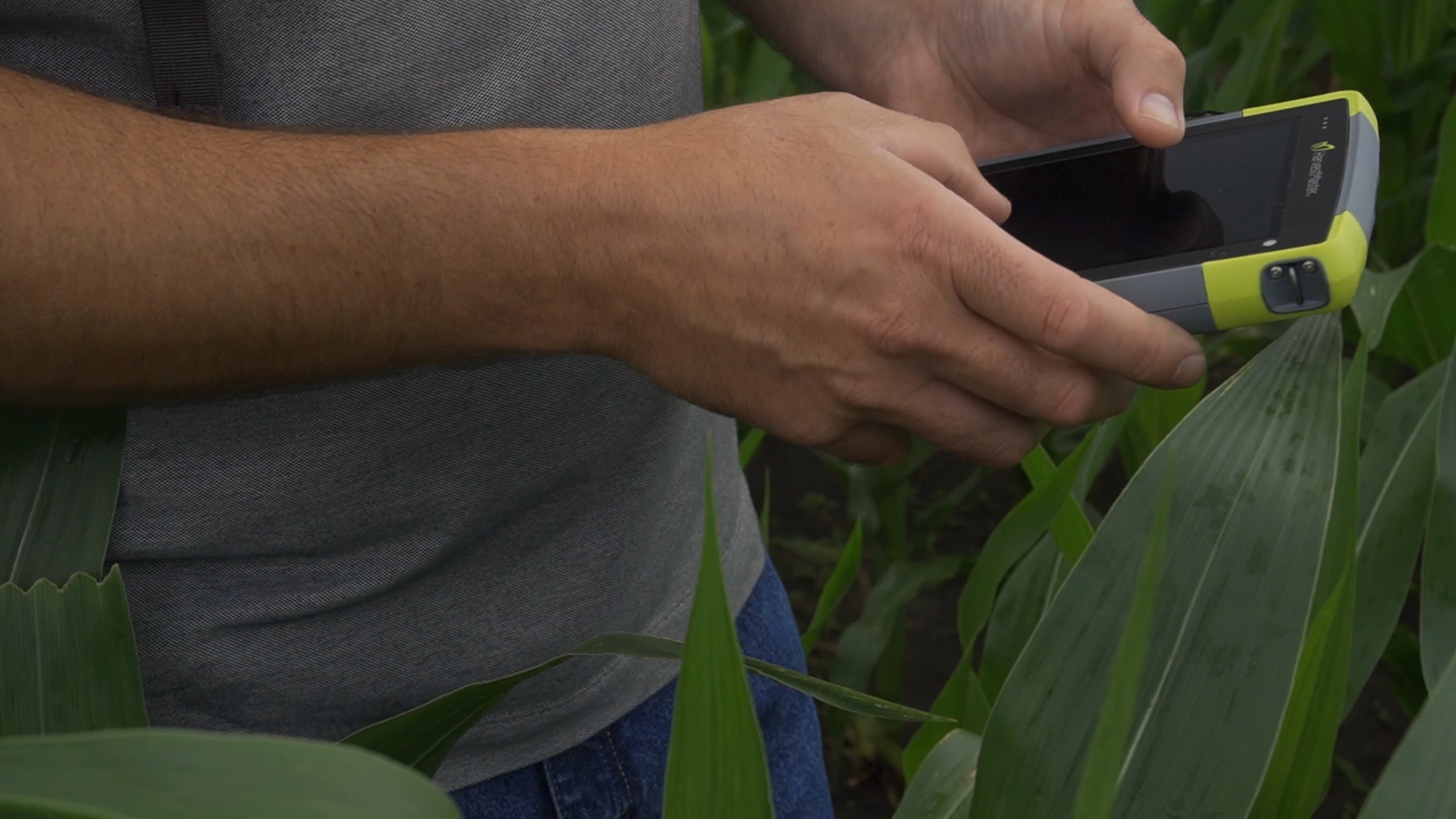
The GNSS plugin allows Mirus to pair with the Geode™ Real-time Sub-meter GPS Receiver or any other NMEA GPS receiver so that users can track their location while in the field. Whether operators use a handheld device or a combine, tracking location takes the guesswork out of data collection.
DISCOVER MORE
At HarvestMaster, we know time and accuracy are everything when it comes to agricultural research. Time saved collecting and double-checking data can be used to analyze data and come to conclusions faster than your competitors. Those things are only possible if users have the best technology and equipment available. Mirus gives users that edge over their competitors and its plugins offer users a more all-in-one solution. The GNSS plugin isn’t the only plugin Mirus has available. Check out our other plugins to find out what works best for you.